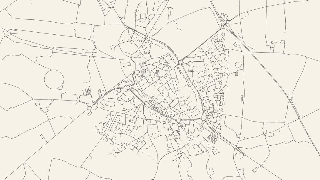
Related to a previous post on Interactive Maps here’s another mapping tool but this time for some visual fun. The City Roads website uses OpenStreetMap data to produce a simple black and white map of all roads in a given town.
Via Daring Fireball
Image: Cirencester town captured from the City Roads website.

